Local authority building control embrace technology with drone survey
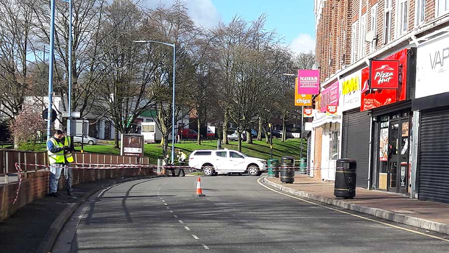
The survey of the parapet wall above a parade of 31 shops at Hagley Rd West in Sandwell, West Midlands was undertaken following concerns regarding the serious deterioration of the parapet wall at the rear of one section.
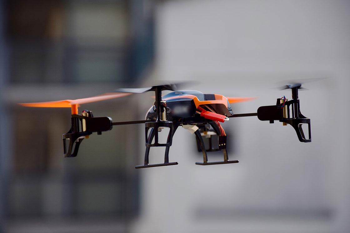
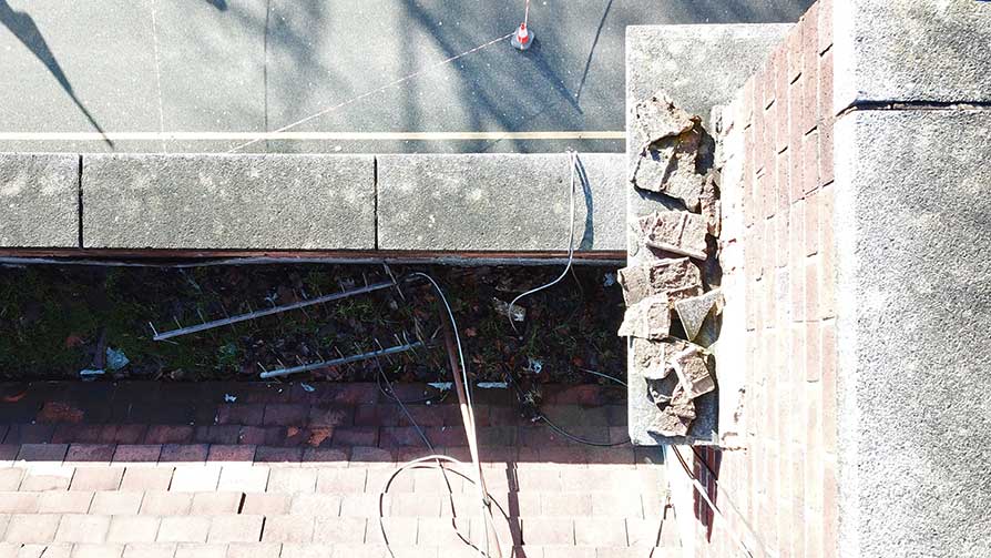
As access behind each section of roof behind the parapet via scaffold would have been physically difficult, expensive and taken time to arrange, the building control team decided to use the Council's drone to take photos of the rear of the parapet along its whole length as a precautionary measure in the interests of public safety.
Senior Building Control Surveyor, Matthew Stewart and Building Consultancy Manager, Calvin Bradley attended and the drone was piloted by one of the Council's trained pilots from Planning Enforcement. To minimise disruption to the businesses and to more easily create a safe exclusion zone below, the survey was undertaken between 8-10am on a Sunday morning.
An early benefit was upon review of the photos taken a large amount of render that fell from a parapet wall onto a second storey ledge above the pavement was spotted that had not been visible from the ground.
A council team from street lighting went out the next morning and safely removed this using a 'cherry picker'. The photos taken are still being reviewed and matched to the properties.
You can find details of your local authority building control team by using the postcode search function on this page or in the 'find your council' bar at the top of our website.
Sign up to the building bulletin newsletter
Over 48,000 construction professionals have already signed up for the LABC Building Bulletin.
Join them and receive useful tips, practical technical information and industry news by email once every 6 weeks.
Subscribe to the Building Bulletin


Comments
Add new comment